Magnitude 7.8 Earthquake in Maasim, Sarangani - Situation Report #1 (June 8, 2026)
June 8, 2026
Situation Overview
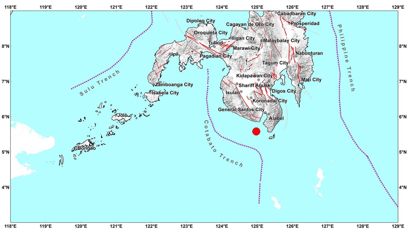
Figure 1. Map showing the epicenter of the Magnitude 7.8 Earthquake.
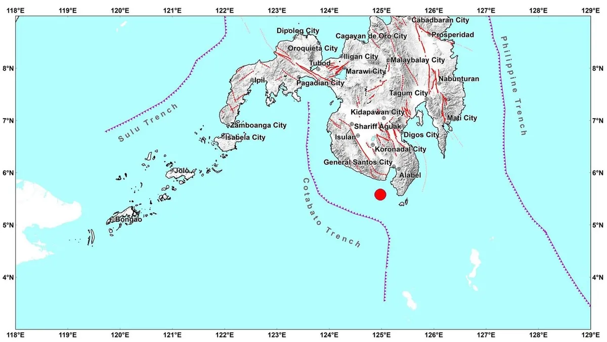
On 8 June 2026 at approximately 7:37 AM PST, a magnitude 7.8 earthquake struck Mindanao, with its epicenter located in Maasim, Sarangani Province. The strong tremor affected at least four regions across Mindanao and was felt widely across neighboring provinces. Following the main shock, authorities recorded 183 aftershocks, ranging in magnitude from 1.3 to 6.7, increasing fear and uncertainty among affected communities. Significant aftershock with magnitude 6.7 was recorded in Balut Island, Municipality of Sarangani, Davao Occidental.
In response to the earthquake, a tsunami alert was issued for nine coastal areas: Sarangani, Davao Occidental, South Cotabato, Sultan Kudarat, Zamboanga del Sur, Zamboanga Sibugay, Basilan, Sulu, and Tawi-Tawi. The alert prompted precautionary evacuations in vulnerable coastal communities. Land-based tsunami watch stations observed 1-meter waves in Sultan Kudarat and Sarangani. The tsunami alert was subsequently lifted at approximately 3:00 PM PST.
As of 4PM PST, the Office of Civil Defense reported 19 fatalities, 134 injured persons, and 7 missing individuals. Significant damage to critical infrastructure has been reported, including the collapse of commercial buildings, bridges, hospitals, airport facilities, and shopping malls. The education sector was also severely affected, with approximately 6,200 public schools sustaining varying levels of damage.
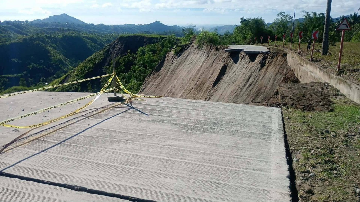
Figure 2. Full road closure along Barangay T'bolok to General Santos City Road — totally impassable to all vehicle types as of 11:07 AM, June 8, 2026 (Photo Credit: LGU T’boli)
The earthquake triggered widespread power outages and disruptions to internet and telecommunications services, hampering emergency response coordination and information sharing. Ongoing aftershocks continue to limit access to some affected areas and complicate detailed damage assessments, particularly for public infrastructure and residential structures.
Given the scale of impacts, the Local Government Unit of General Santos City has declared a State of Calamity to facilitate emergency response and recovery operations.
Sources: PHIVOLCS, Office of Civil Defense, GMA News
Affected Populations
According to the United States Geological Survey (USGS), approximately 1.2 million people experienced severe ground shaking, while an estimated 3.76 million people were exposed to very strong shaking across Mindanao.
The earthquake occurred on the first day of classes for School Year 2026–2027, significantly affecting children, their families, and the education sector. An estimated 3.2 million learners experienced disruption to educational services due to damaged school facilities, suspension of classes, and safety concerns. Approximately 49 percent of these learners are girls, highlighting the considerable impact on women and girls and the need for gender-responsive assistance and protection measures.
Families across the affected areas are experiencing heightened psychosocial distress as they cope with loss of life, injuries, uncertainty regarding aftershocks, and disruption of normal daily activities. In General Santos City and surrounding municipalities, many households have opted to remain outdoors, camp in open spaces, or stay in temporary evacuation areas due to fears of structural collapse and continuing seismic activity.
The widespread power outages have further exacerbated humanitarian needs by disrupting communication networks, limiting access to information, and affecting the delivery of essential services.
As assessments continue, the number of affected people and the extent of humanitarian needs are expected to increase, particularly in communities located near the epicenter and in areas where infrastructure damage has restricted access to basic services.
Sources: Office of Civil Defense, NDRRMC, USGS, Sarangani PDRRMO, GMA News, DZRH News Television
Emergency Response Efforts
CDRC along with the affected regional partner, continues to monitor the situation and has commenced issuing situation reports.
Expressed Needs
Food packs and safe drinking water
Hygiene kits
Temporary shelter
Coordination
Regional Partner
Dagyaw Relief Network
Contacts
Glenn Latoza – 09662343358